#Industry News
6 tips on using drones effectively for precision agriculture
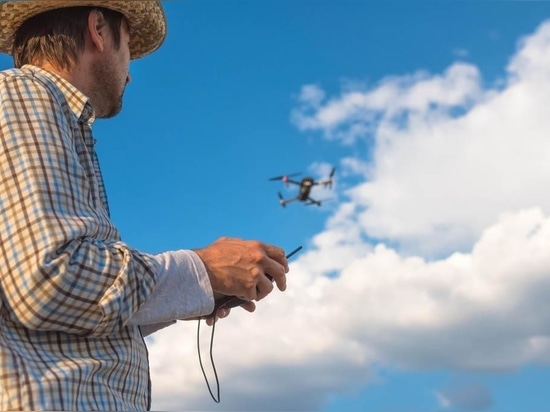
Flying drones for farming is not as straightforward as just buying one and hitting the Go button whenever you wish…
You might have seen farmer Joe next door flying his new drone around the paddock to check on his livestock, or farmer Jane down the road using a similar gadget doing some spraying on her crops.
Welcome to farming in the 21st century.
By now, we all have a pretty good idea about what drones or UAVs (unmanned aerial vehicles) can do for farmers, and we can agree that the drone is a mighty useful tool on farm.
Whether you already own one (you trendsetter!) or are looking to buy one, here are some tips on using drones safely and effectively for farming purposes.
Do you need a drone?
Take a step back and put on your thinking cap here, do you really need a drone to do your job, or are you simply getting it so you can become one of the ‘cool kids’?
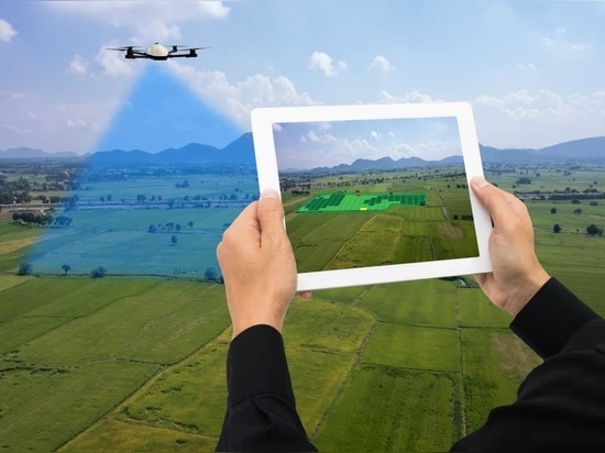
With UAVs costing upwards of $15,000 for the top-end, sensor laden ones, they are not always the solution to precision agricultural mapping requirements with other aerial survey methods available including satellite.
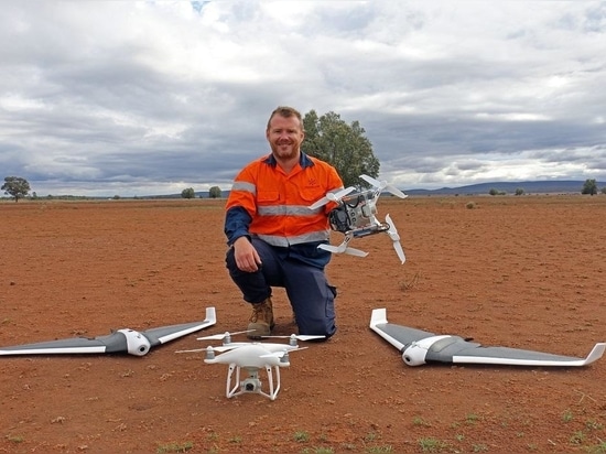
“Growers must ask themselves how much precision they actually need,” said Australian UAV drone expert, Lachlan Feeney.
“If the answer is precise data, the drone is a good platform for that.
“Growers will get very small pixel resolution of their paddock and thus a lot of precise data about their paddocks, whether that is looking at soils or crops, which a satellite cannot return.”
Feeney recently helped a client solve problems with patchy low yielding areas in a canola crop using both drone and satellite imagery, helping to identify poor soils for future management.
“We collected a lot more data within the problem areas using the drone but as far as applying fertiliser to those areas of broadacre, the satellite imagery was fine,” he said.
“Growers need to consider how precise their data needs to be – if they want to look at the canopy of individual plants, purchased satellite imagery will not return that, and free satellite imagery has considerably lower resolution (tens of metres per pixel).
“A pixel representing 25 x 25 metres on the grounds, for example, will contain one value that is the average value of all the constituents within that pixel.
“If there are issues with plant health, these may be masked entirely by this poorer pixel resolution.”
However, if growers are intending to simply look at broad trends over large areas, then satellite data does the job nicely, Feeney said.
Decide which drone is suitable
What is it you’re trying to achieve with the UAV? Is it for capturing images, surveying, monitoring plant health, checking on livestock or are you hoping to do more?
No matter what it is, think and research very carefully before you buy the drone because they certainly do not come cheap.
At the end of the day, a drone is just a piece of equipment for the job and much of the work comes from understanding what you are trying to remotely sense or monitor.
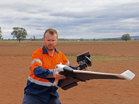
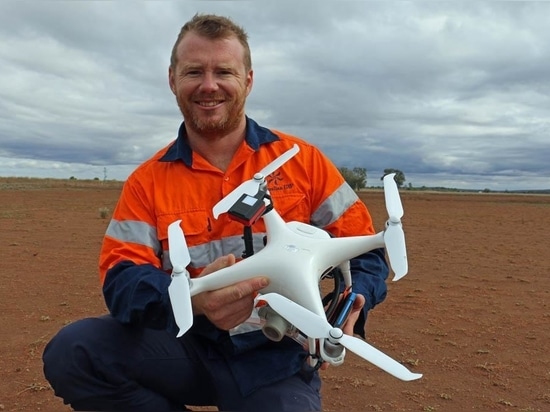
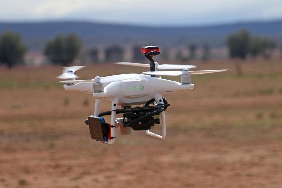
There are two main types of UAVs available – fixed wing and multi-rotor. Both are fantastic in their own ways and which type to get very much depends on multiple factors including wind conditions on your property, your budget, what are your applications and more.
Be familiar with regulations
First and foremost, check whether or not you will need a license to operate the UAV you have just bought. Generally speaking, if the drone weighs less than 25kg, and if you are flying the drone on your own property and not flying for commercial purposes, you do not need a license.
However, experts like Feeney recommended obtaining some basic training on how to fly the drone properly and how to make the most out of it.
"Licensing aside, another important thing to be mindful of is whether you can fly the drone where you intend to."
For example, use of drones near airports or power lines is strictly prohibited.
The Civil Aviation Safety Authority (CASA) governs the use of drones in public areas and is the go-to body for everything UAV related.
To make it easier for users, CASA released a smartphone app – ‘Can I Fly There’ that displays no-fly zones around major airports, for example, so users know where they can or can’t fly their drones for safety and privacy reasons.
Regulations for non-commercial drones can be found on the Civil Aviation Safety Authority website.
Fly in the right conditions
When it comes to weather conditions for flying, consider low wind speed for craft stability and as little scattered or broken cloud as possible to prevent shadows on crop imagery.
Fully overcast days or clear blue skies are preferable for accurate data collection.
“When mapping a crop, it is best to track up and down with the wind so the drone is not being thrown side to side helping to reduce image blur,” Feeney said.
“Operators should recalibrate a drone every time it is brought to a new paddock as the compass calibration data is stored at the last location, and calibrate away from magnetic interferences such as fences or other machinery.”
“Notably, operating the drone too early in the morning or late in the afternoon may introduce shadows in vegetation assessment and provide poorer data. Map between 10am and 2pm.”
Another factor to watch out for is predatory birds such as wedge-tailed eagles that may attack the drone which they perceive as prey.
When they start stalking the drone, operators lose precious mapping time and data by trying to out manoeuvre the birds.
If you’re not careful, the birds can shred expensive aircraft in one swoop with their sharp talons.
If this is likely to happen where you are, try crop mapping early in the morning before thermal up-currents develop. Otherwise, if this happens during a crop-mapping run, simply fly the drone manually upwards until you out-climb the bird.
Have the right tools to capture and process the data
So you’ve flown the drone and captured some data, but do you know what to do with it, how to retrieve it or how to process it?
According to Feeney, most laptops can steer a drone but not all can stitch together the images at the end of a mapping flight.
He advised using a good graphics card for building images into a useable map for analysis by a remote sensing specialist or agronomist.
“Each software licence can be multiple times more than the drone and growers can buy that licence for their farm, and in 10 years time it may need updating.”
Feeney suggested growers evaluate cloud-based technologies where imagery can be uploaded to and maps paid for.
“For those wishing to buy their own drone and camera, and paying for the data to be processed in the cloud is a good option through web online companies such as Maps Made Easy, for example,” he said.
“With a senseFly eBee agricultural drone, you also buy the rights in the purchase package to have data processed, however this is a more expensive option than others out there.
Hire a specialist
If all this data analysis business is too much for you, then you should consider asking for help.
“Hire a spatial specialist to help with the initial planning, agricultural design, data capture and overall delivery of the package,” Feeney said.
“The best answer is do your research but if you don’t have the time to do the research, hire a specialist to help.”
In summary
Tips on using drones effectively for precision ag:
. Do your research on what a drone can achieve otherwise you may have to buy twice.
. Remember a drone is just a piece of equipment for the job and much of the work comes from understanding what you are trying to remotely sense or monitor.
. Consider cloud based technologies and hiring specialists to help with the analysis.
. If contracting the job out to an external party, research their ability to do it.
. Be familiar with the CASA Part 101, the rules governing all unmanned aeronautical activities.
. Watch out for wedge-tailed eagles.